The sector has the potential to contribute substantially in generating employment, creating knowledge, and escalating socio-economic progress of the nation.
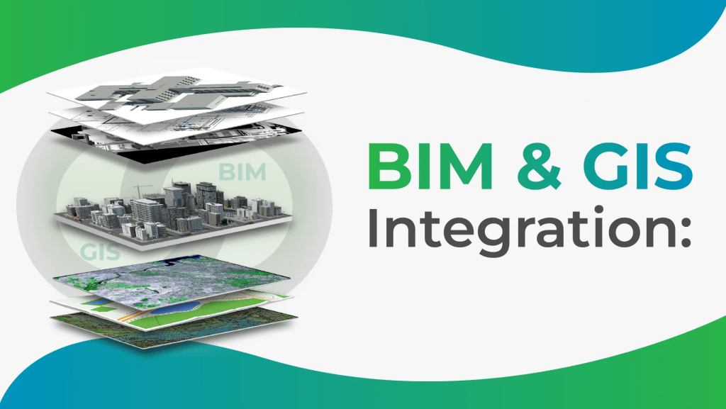
Modern GIS (Geographic Information System) technology refers to the advanced tools, techniques, and software applications used to collect, manage, analyze, and visualize geographic data. GIS technology enables users to store and manipulate large amounts of spatial data, including maps, satellite imagery, and location-based data, to support decision-making processes in various fields such as urban planning, resource management, environmental analysis, and public health.
BIM (Building information Modelling) has revolutionized the architecture, engineering, and construction (AEC) industry. From its humble beginnings as a digital representation of physical and functional characteristics, BIM has evolved into a collaborative and intelligent 3D model-based process
Business has extensive experience across the all industries in world. We help our clients set new standards of excellence.